
Search

Hongke's latest articles

HongKe

Lorem ipsum dolor sit amet, consectetur adipiscing elit. Ut elit tellus, luctus nec ullamcorper mattis, pulvinar dapibus leo.

Lorem ipsum dolor sit amet, consectetur adipiscing elit. Ut elit tellus, luctus nec ullamcorper mattis, pulvinar dapibus leo.

HONGKE Solution] How does HONGKE GNSS simulator empower drone inspection? The Core Technology Behind Efficient Testing

Based on Hongke's GNSS simulator technology solution and combined with actual application scenarios, this paper demonstrates the core value of this system in the development of new generation of inspection UAVs (unmanned aerial vehicles), covering a full range of testing capabilities in terms of navigational accuracy, multi-constellation compatibility, interference immunity and multi-sensor fusion performance.

Background

A UAV R&D company needs to complete the testing of a new generation of inspection UAVs, and the testing requirements include:

  • City Canyon: Serious multi-path effect
  • Mountain Environment: Signal Blocking Frequency
  • Farm SceneAlthough open, high-precision positioning is still needed.

The test must validate the UAV in a complex environment:

  • Navigation accuracy
  • Multi-constellation support capability
  • interference resistance
  • Multi-sensor fusion (GNSS + IMU + other sensors)

Limitations of traditional programs

Field testing has long been constrained by the following factors:

  • Uncontrollable weather conditions
  • Airspace application required
  • Safety Risks
  • Test scenes cannot be accurately reproduced

This makes it difficult to meet the high efficiency and consistency of R&D needs.

To avoid these limitations, companies ultimately use Laboratory GNSS Simulation Test SolutionThe test platform is automated by HONGKE for full-scene coverage and high-precision validation.

Hi-Tech Solutions

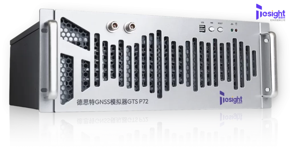
HONGKE GNSS simulation automation test platform

  • Multi-case optimal hardware architecture
  • Supports 6 independent GNSS scene simulations

GTS-P7 Built on the Skydel software engine, it provides a one-stop, high-performance, software-defined architecture for GNSS signal testing.

Key features include:

  • 1000 Hz analog iteration rate
  • Supports up to 700 satellite channels
  • Simulates high-dynamic motion environments
  • Full GNSS multi-constellation/multi-frequency support
  • Programmable to generate all current and future GNSS signal formats

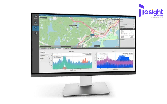
Software Toolchain Skydel GNSS Simulation Software

  • Supports all major global constellations (GPS / BDS / Galileo / GLONASS)
  • Multi-vehicle, multi-antenna, multi-path simulation

Skydel offers superior software definition flexibility:

  • Supports >1000 channel emulation
  • 1000 Hz iteration rate
  • Full API & Automation Control
  • Open SDK for secondary development
  • Supports multiple RF channels and complex multi-satellite environments

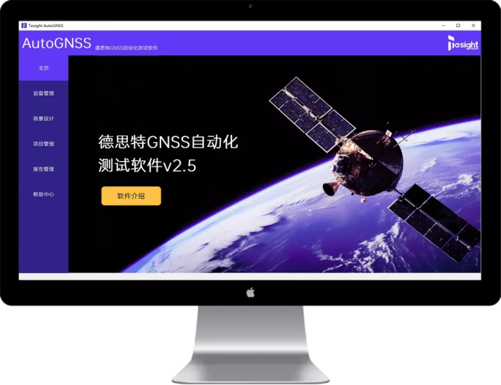
Software Toolchain Hongke GNSS Simulation Automation Testbed

  • Matchable to industry standards
  • One-Click Scene Configuration
  • Global Test Control
  • Automatic test report generation

The HONGKE Platform supports deep integration with a wide range of standard authentication tools:

  • Standardized Test Scene
  • Test Report Generation
  • Automating the Command Flow
  • Test Record Keeping

Test Scene Design

All testing is done in the lab, no actual UAV flights are required. Controlled and highly reproducible

Test ItemTest ContentTest Objective
1. Static calibrationSimulated elevation angle 0°-90°, adjusted constellation signal strength -130 dBm to +20 dBmCold start positioning RMS < 1m
2. Dynamic flightGenerates S-shape, sharp turns (radius <10m), ±5g vertical dynamicsVerification of DOP stability and heading error under high dynamics
3. anti-interference testOutput Narrowband / Wideband / Pulse InterferenceVerify Location Availability and Resilience
4. RTK accuracy testAnalog Base Station - Mobile Station Differential, DelayVerification of RTK cm-level positioning stability

Program Value

Excellent performance indicators

✓ Multi-constellation free switching (GPS / BDS / GAL / GLO)
✓ Pseudo-distance accuracy ≤ 1 mm
✓ Supports multiple interference signal overlays
✓ Support for forged coordinates and spoofing emulation

Significant improvement in testing efficiency
  • 10 typical scenes in one go
    → Field Requirements 10 days → Laboratory only 8 hours

  • Failure can be reproduced by 100%
    → Support for track playback and pinpointing problem sources

Cost reduction effect is obvious
  • Airspace Application Fee ↓ 90%

  • Field labor + Depreciation of equipment ↓ 40%+

  • Shorter test cycle 70% Above

Expansion of Industry Applications

Logistics UAV
  • Simulation of mountain terrain → Verification of power line obstacle avoidance

  • Testing of GNSS post-loss IMU takeover capability

Inspection UAV
  • Joint testing with 5G return link (<50ms)

  • GNSS + IMU + Visual SLAM Multi-sensor Fusion Verification

Other Articles

Hongke Case

[Hongke Applications] Hongke IDS Multi-Camera Imaging Solution – Overcoming the Challenge of Precise 3D Observation of High-Speed Dynamic Plasma

Hongke, in collaboration with IDS, offers a multi-camera synchronized imaging solution featuring microsecond-level ultra-short exposure and back-illuminated global shutter CMOS sensors, successfully overcoming bottlenecks in high-speed, microscale plasma 3D point cloud reconstruction and dynamic observation. Learn more about Hongke’s industrial machine vision solutions today!

Read more
Hongke Case

[Hongke Case Study] Panorama Essentials: A Lightweight SCADA Solution—An Industrial Monitoring System with Unlimited Web Users and Low Cost

Hongke has officially launched Panorama Essentials, a lightweight SCADA solution designed specifically for small- and medium-sized industrial monitoring and building automation. With support for unlimited web user connections, up to 25,000 data tags, and “Cyber-by-design” native cybersecurity, it significantly reduces system deployment costs and engineering commissioning time. Learn more about this professional-grade SCADA upgrade solution today!

Read more
Hongke Dry Goods

[Hongke Solutions] Pharmaceutical Warehouse Mapping Validation and EMS Monitoring Solutions – Hongke ELPRO Meets WHO & GDP Standards

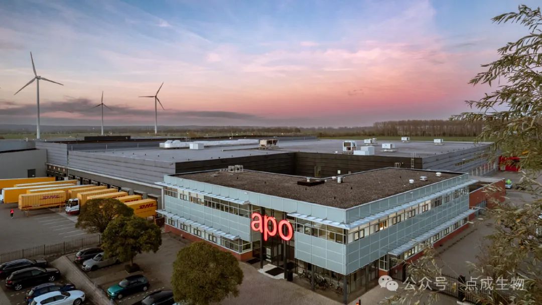
Hongke ELPRO provides professional temperature distribution validation (mapping) for pharmaceutical warehouses and EMS solutions for continuous, automated monitoring of temperature and humidity. We successfully assisted the apo.com Group in completing mapping validation for its Autostore automated high-bay warehouse within two months. The 100% system complies with WHO Annex 9, EU GDP, and GxP standards, ensuring the safety of the pharmaceutical supply chain and enabling the company to successfully pass regulatory audits.

Read more

Contact Hongke to help you solve your problems.

Let's have a chat